Data descriptions:
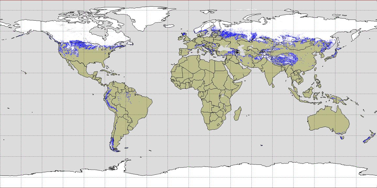
Global: Bi-monthly Global 0.25 × 0.25 deg gridded snow fraction over land was generated from the satellite-derived bi-monthly global snow cover (SC) product at 0.05 deg resolution obtained from the “JAXA Satellite Monitoring for Environmental Studies (JASMES) web (https://kuroshio.eorc.jaxa.jp/JASMES/index.html). The snow fraction was estimated to be a spatial fraction of snow cover pixels within a 0.25 × 0.25 deg grid cell. The SC were derived from radiance data at the wavelengths from visible to thermal infrared regions acquired with polar-orbiting satellite-borne optical sensors during the period from November 1978 to December 2019 (Snow fraction of the following two period are filled with a dummy due to poor qualities of radiances; 1) from the first-half of February 1980 to the second-half of June 1981, 2) from the second-half of September 1994 to first-half of January 1995). The overall accuracy of snow/non-snow cover classification for the SC product was estimated to be 0.82-0.99. The detailed analysis method and accuracy estimations of the JASMES SC product are found in Hori et al. (2017).
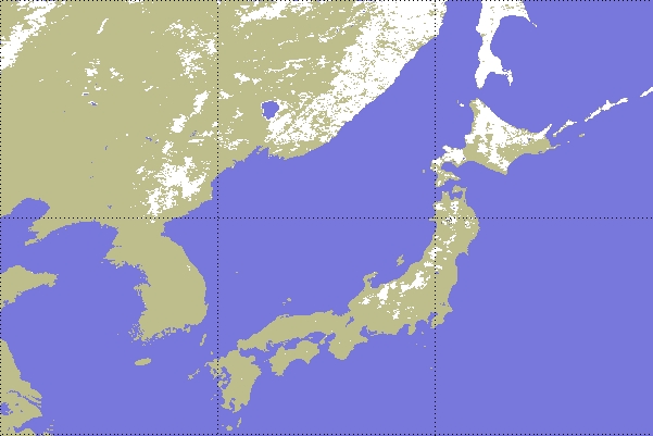
Japan: Bi-monthly regional (Japan) snow cover extent is binary snow cover classification product generated from the JASMES global SC product at 0.05 deg.
| Coverage | Spatial resol. | Period (click to download data) | Temporal Resol. | Format | Satellite Sensors | Notes |
| Global | 0.25 deg. | Dec. 1978 - Jun. 2021 | Bi-monthly | netCDF | AVHRR, MODIS | snow fraction |
| Japan | 0.05 deg. | Dec. 1978 - Jun. 2021 | Bi-monthly | netCDF | AVHRR, MODIS | binary snow class. |